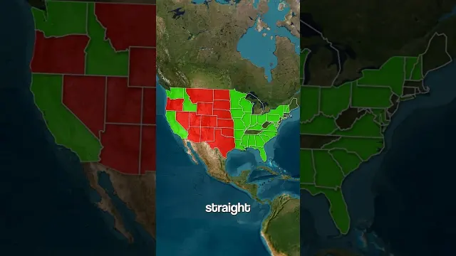
 The History of Straight and Rectangular U.S. Borders
#Land Ordinance
1 ideas
The History of Straight and Rectangular U.S. Borders
Get new #Land Ordinance ideas by email
Every Thursday: the week's best ideas, with the newest from #Land Ordinance.
Related tags
The Land Ordinance and the U.S. Survey System
What the Land Ordinance is
The Land Ordinance usually refers to the U.S. law passed in the early years of the republic that set out a practical system for surveying and selling public land. Its main purpose was to turn large unsettled or recently acquired areas into orderly parcels that could be measured, mapped, and sold. It became one of the foundations of the rectangular land survey system used across much of the United States.
If you look at a map and see straight county lines, square townships, or evenly divided land blocks, you are often seeing the long shadow of this system.
Where it came from
Read more
After independence, the new country needed a way to organize western lands. The government had land to manage, settlers wanted clear titles, and buyers needed a system they could understand. Instead of relying mainly on older metes-and-bounds descriptions, which used landmarks and could be irregular, the ordinance promoted a grid-based method of measurement and division.
That approach reflected a practical goal: reduce confusion, make sales easier, and give the government a consistent way to divide territory.
How it works
The basic idea was to divide land into large square units, then subdivide those units into smaller ones. This created a regular pattern that made surveying and ownership simpler.
In broad terms, the system uses:
- measured lines rather than natural features
- square or rectangular units
- repeated subdivisions for farms, towns, and parcels
- fixed reference lines to keep the grid organized
Because of this, many parts of the U.S. have a landscape that feels geometric, especially when compared with places shaped by older property traditions.
Why it matters
The Land Ordinance affected more than maps. It shaped settlement patterns, property law, and the physical look of the countryside. It made land easier to buy and sell, and it supported the expansion of towns, farms, roads, and boundaries in the interior of the country.
It also influenced how people think about land itself: as something that can be measured, divided, and owned in clear units. That idea is still visible in modern property descriptions and survey records.
What to know if you are a beginner
If you are learning about the Land Ordinance for the first time, it helps to remember three simple points:
- it was a land-survey and land-sale system
- it helped create the rectangular pattern seen on many U.S. maps
- it was meant to make western land easier to organize and sell
It is also useful to distinguish it from other laws that dealt with land distribution or settlement. The ordinance was not just about ownership; it was about creating a structure for how land would be measured in the first place.
A lasting legacy
The Land Ordinance remains important because it helped define the geography of the United States. Even today, roads, fields, and property lines often follow the order it introduced. It is one of those historical systems that still quietly shapes everyday life, even if most people rarely think about it.
Videos come from YouTube and posts from Instagram; titles and summaries are our own. All rights belong to their creators.