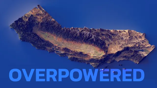
 How California Geography Made It Extremely Successful
#Geography
33 ideas
How California Geography Made It Extremely Successful
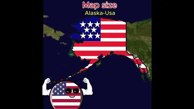 Comparing 2D world map country sizes to their actual equator proportions
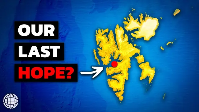 Inside Earths Most Important And Isolated Archipelago
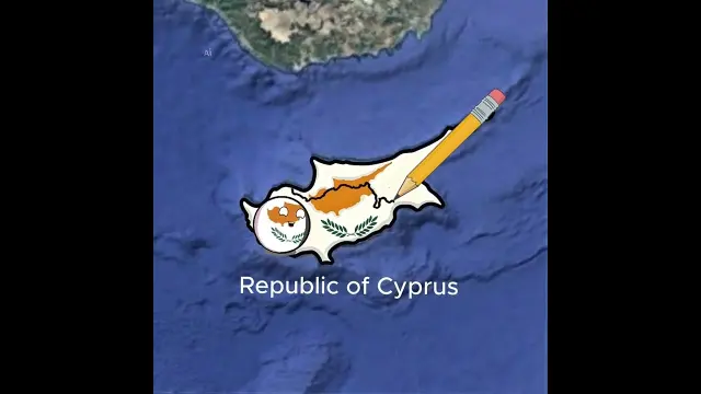 Overview of special territories in Portugal, Chile, Argentina, and Asia
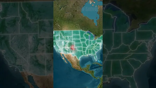 The Stories Behind Strange U.S. State Borders
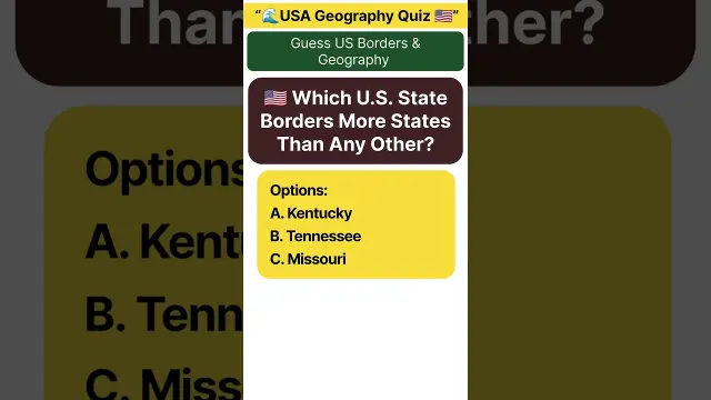 Which U.S. States Share Borders with the Most States
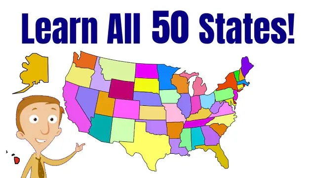 Learn All Fifty States of the US Geography Video
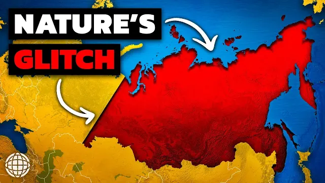 Why Siberia Is Earths Strangest Place
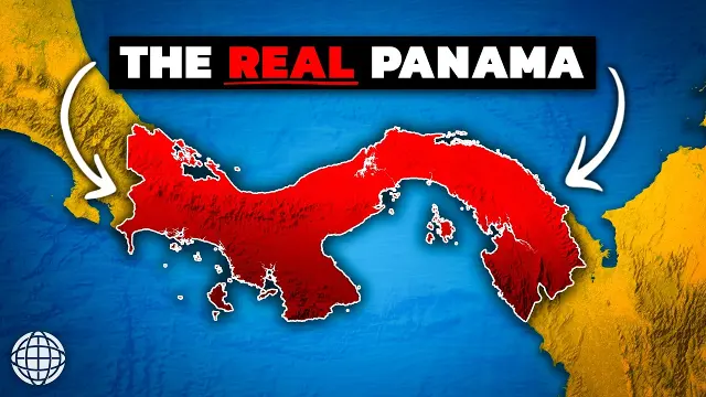 Surprising Facts About Panama Geography
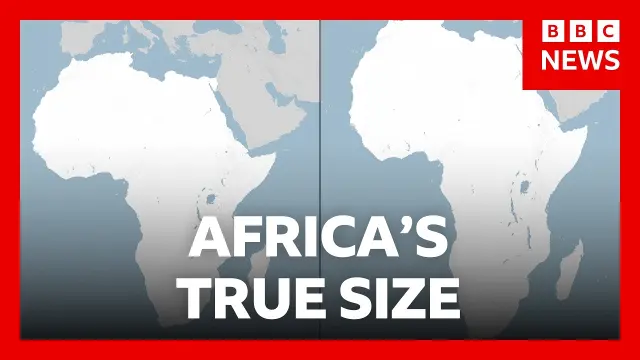 UN General Assembly votes to adopt a world map reflecting Africa's true size
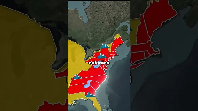 Why So Many American State Borders Are Straight Lines
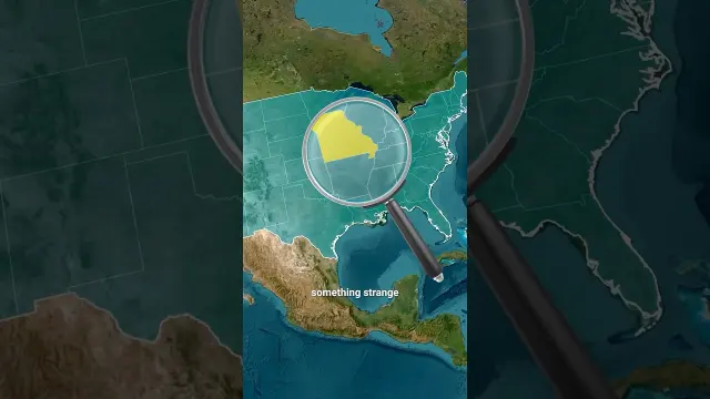 Unusual Stories Behind Strange U.S. State Borders
 Fifty Nifty United States Kids Patriotic Music Video
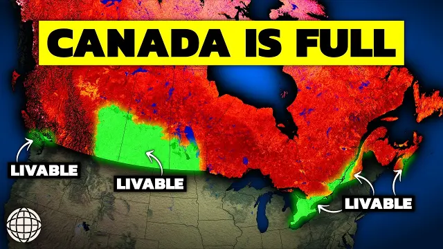 Why Canada Is Running Out Of Usable Land
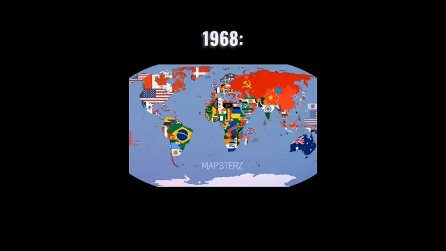 World map comparison between 1968 and 2026 political boundaries
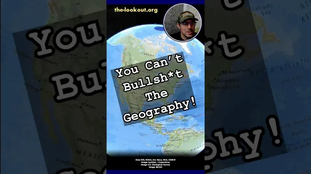 The Geography Of The Iran Region
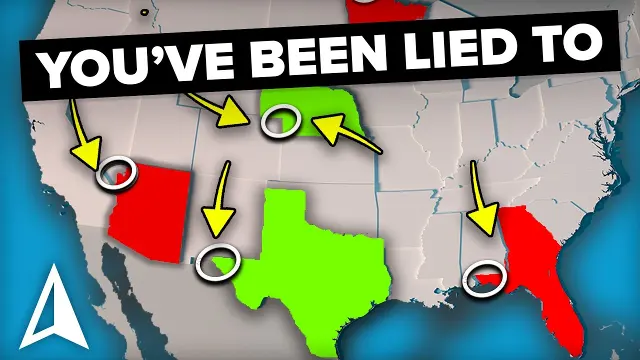 Understanding How U.S. State Borders Were Formed
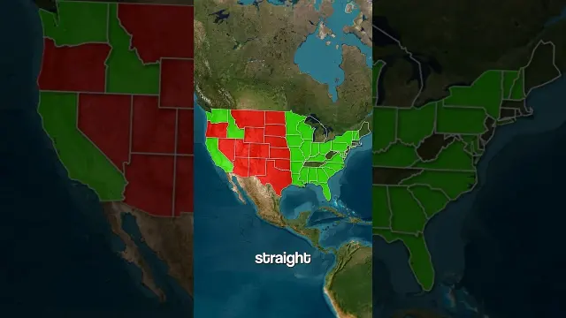 The History of Straight and Rectangular U.S. Borders
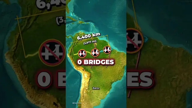 Why No Bridges Cross The Amazon River
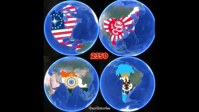 Evolution of United States, Japan, India, and Argentina over 500 years in maps
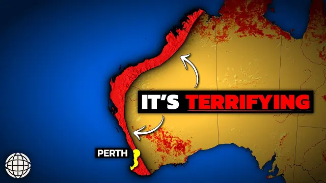 Why Almost Nobody Lives On Australias West Coast
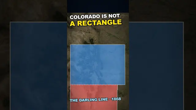 The Fascinating History Behind Why Colorado Is Not Actually a Rectangle
 Peculiar Histories of Twelve Kentucky Border Towns
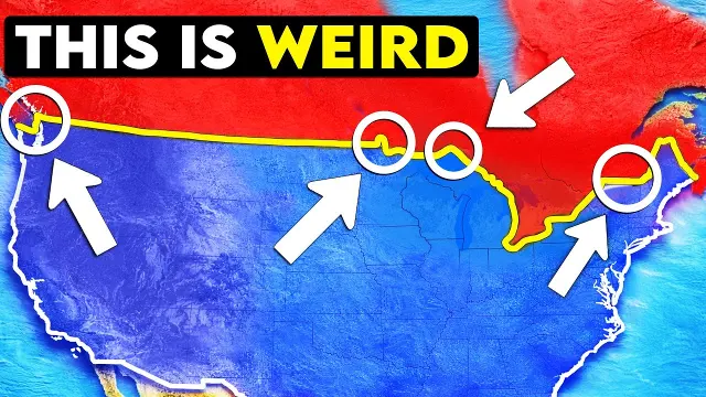 Why the Boundary Between the US and Canada Is Unique
Get new #Geography ideas by email
Every Thursday: the week's best ideas, with the newest from #Geography.
Related tags
Geography: Understanding Our World
Geography is the study of places, spaces, and the relationships between people and the natural world. It asks simple but important questions: Where is something located? Why is it there? How does it connect to what is nearby? From mountains and rivers to cities, borders, climates, and cultures, geography helps you understand how the world is arranged and how it changes over time.
What geography includes
Geography is usually divided into two broad areas. Physical geography looks at natural features such as landforms, weather, climate, soils, vegetation, and water. Human geography focuses on people and their activities, including settlement, population, transport, trade, language, culture, and political borders. Many topics overlap, because people shape the land and the land shapes where and how people live.
Geography is used in everyday life more often than you may notice. It helps with reading maps, understanding directions, planning travel, studying countries, and making sense of news about weather, migration, resources, or regional differences. It also supports better decisions about farming, housing, conservation, city planning, and disaster preparation.
Read more
Main branches and approaches
There are several common ways to study geography:
- Regional geography looks at a specific area and the features that make it distinct.
- Physical geography studies natural systems such as rivers, coasts, deserts, and climate zones.
- Human geography explores how people live, move, work, and organize space.
- Environmental geography focuses on the connection between human activity and the natural environment.
- Cartography is the art and science of making maps.
Geographers often use maps, aerial images, field observation, measurements, and descriptive analysis. The goal is not only to name places, but to understand patterns and relationships.
Maps, scale, and location
Maps are one of the most familiar tools in geography. A good map shows where places are and how they relate to one another. When you look at a map, pay attention to direction, scale, symbols, and legend. Scale tells you how distances on the map compare with real life. Symbols help show roads, rivers, boundaries, and other features. Some maps show physical features, while others focus on political divisions or population patterns.
Location can be described in two ways. Absolute location uses coordinates or a fixed reference point. Relative location explains where something is compared with other places. Both are useful because place is always about relationships.
Getting started with geography
If you are new to geography, begin with the basics:
- Learn the continents, oceans, countries, and major landforms.
- Practice reading simple maps and finding directions.
- Notice how climate affects clothing, homes, crops, and daily routines.
- Compare different regions to see how geography influences culture and settlement.
A helpful habit is to ask why a place developed the way it did. Why is a city built near a river? Why do some areas have dense population while others are sparsely settled? Why do borders follow straight lines in some places and natural features in others? Questions like these are at the heart of geography.
Geography is both practical and curious. It helps you see the world as connected, varied, and worth exploring carefully.
Videos come from YouTube and posts from Instagram; titles and summaries are our own. All rights belong to their creators.