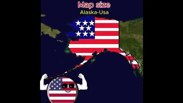
 Comparing 2D world map country sizes to their actual equator proportions
#World Maps
5 ideas
Comparing 2D world map country sizes to their actual equator proportions
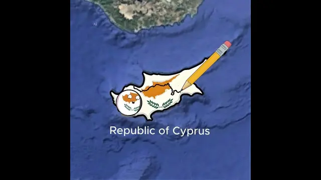 Overview of special territories in Portugal, Chile, Argentina, and Asia
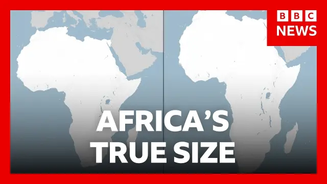 UN General Assembly votes to adopt a world map reflecting Africa's true size
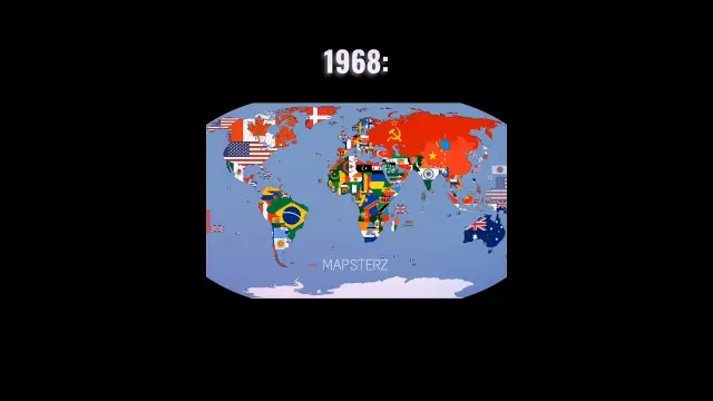 World map comparison between 1968 and 2026 political boundaries
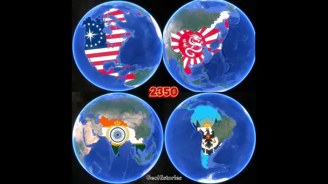 Evolution of United States, Japan, India, and Argentina over 500 years in maps
Get new #World Maps ideas by email
Every Thursday: the week's best ideas, with the newest from #World Maps.
Related tags
World Maps: Types, Projections and Uses
What a world map is
A world map is a map of the Earth shown on a flat surface. It helps you see countries, oceans, continents, borders, and sometimes climate, population, or physical features all in one view. Because the Earth is round, every flat world map involves some kind of simplification. That is why different maps can look very different while still being useful.
World maps have been used for centuries to support travel, trade, teaching, politics, and navigation. Today, you’ll find them in classrooms, atlases, homes, offices, and digital tools. They can show the world as political, physical, thematic, or decorative.
Main kinds of world maps
Read more
A political world map focuses on human-made borders. It shows countries, capitals, and sometimes major cities. This is the kind you use when you want to understand where places are and how they are divided.
A physical world map shows natural features such as mountains, deserts, rivers, plains, and oceans. It is useful for learning about geography and landscape.
Thematic world maps show one topic across the globe, such as climate zones, languages, time zones, or population density. These maps are especially helpful when you want to compare one idea across regions.
You may also see vintage or decorative world maps. These are designed to be beautiful as well as informative, and they often use older styles or artistic details.
Why projections matter
A flat map cannot show the curved Earth perfectly. That is why mapmakers use projections, which are methods for transferring the globe onto paper or a screen. Every projection changes something: size, shape, distance, or direction.
Some projections keep shapes more accurate, while others make areas or directions easier to compare. For example, a map may make places near the poles look larger than they really are, or stretch land in certain ways. A world map is therefore best read as a model, not a perfect copy of the planet.
When you look at a world map, it helps to ask:
- What is this map trying to show?
- Is it about area, shape, borders, or something else?
- Does the projection make some regions look larger or smaller?
How to read a world map well
Start with the legend, scale, and compass if they are shown. These tell you what symbols mean, how far apart places are, and which way is north. Then compare the map with a globe or another map if you want a fuller picture.
It also helps to remember that country size on a flat map can be misleading. Large-looking areas are not always as large in real life, and small-looking countries can still be geographically important.
Tips for beginners
- Use a political map to learn countries and borders.
- Use a physical map to understand landforms and nature.
- Compare more than one projection if you want a better sense of real size.
- Pay attention to how the map is labeled, since names and borders can vary by purpose.
- Treat every world map as a useful viewpoint, not the final truth.
World maps are one of the simplest ways to see the planet at a glance, but they are also full of choices. Once you understand those choices, you can read them with much more confidence.
Videos come from YouTube and posts from Instagram; titles and summaries are our own. All rights belong to their creators.