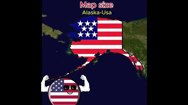
 Comparing 2D world map country sizes to their actual equator proportions
#Maps
17 ideas
Comparing 2D world map country sizes to their actual equator proportions
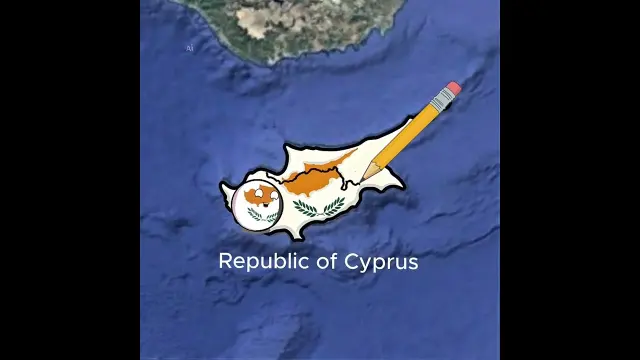 Overview of special territories in Portugal, Chile, Argentina, and Asia
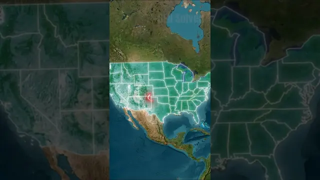 The Stories Behind Strange U.S. State Borders
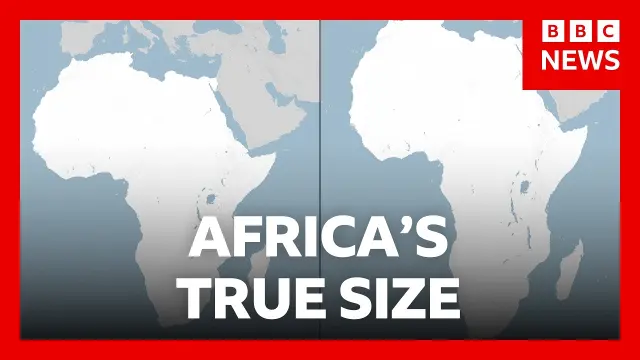 UN General Assembly votes to adopt a world map reflecting Africa's true size
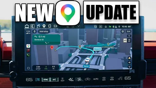 Google Maps updates Apple CarPlay with enhanced 3D visuals and Gemini details
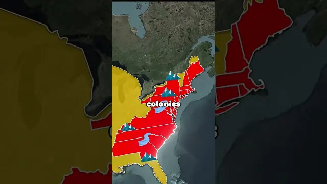 Why So Many American State Borders Are Straight Lines
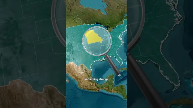 Unusual Stories Behind Strange U.S. State Borders
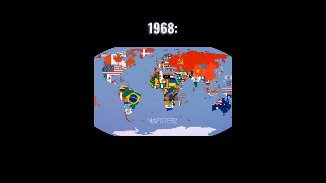 World map comparison between 1968 and 2026 political boundaries
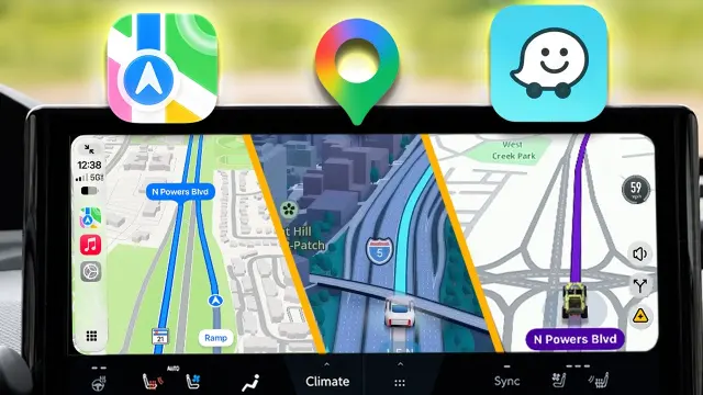 Comparing Apple Maps, Google Maps, and Waze features on Apple CarPlay
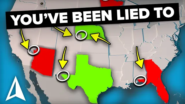 Understanding How U.S. State Borders Were Formed
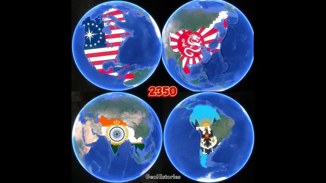 Evolution of United States, Japan, India, and Argentina over 500 years in maps
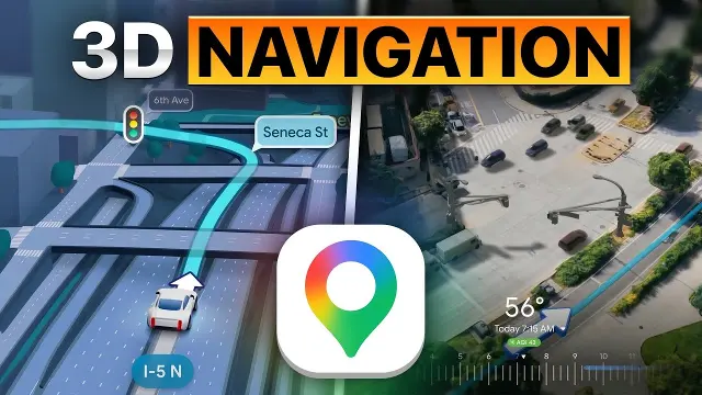 Google Maps introduces new 3D navigation features to clarify complex intersections
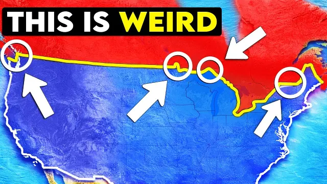 Why the Boundary Between the US and Canada Is Unique
 The mathematics and shortest path algorithms behind Google Maps performance
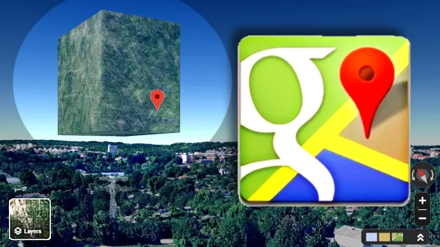 A compilation of strange anomalies and unusual sights found on Google Earth
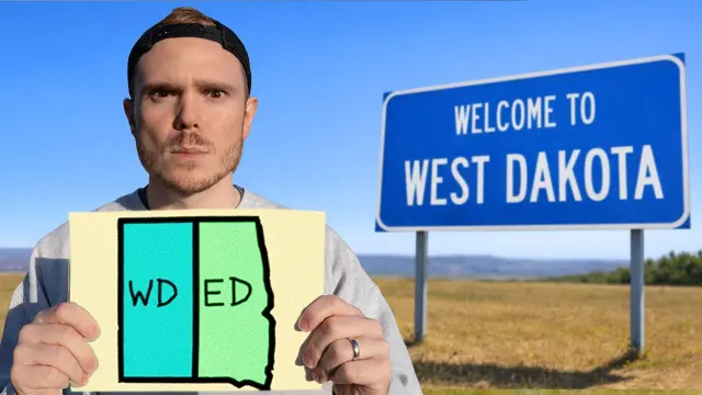 Redrawing and Fixing Nonsensical U.S. State Borders
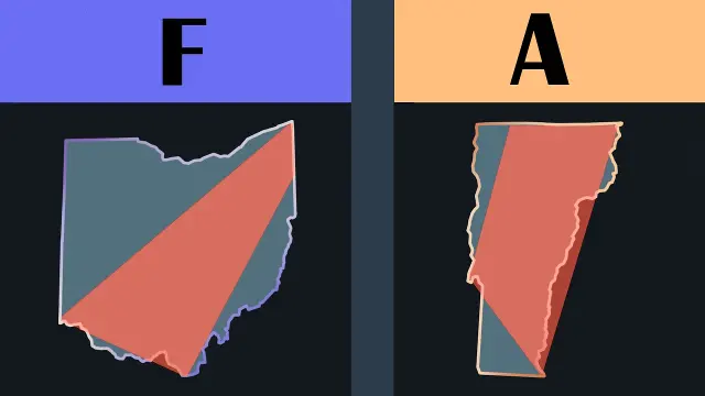 Ranking U.S. States by Their Border Accuracy
Get new #Maps ideas by email
Every Thursday: the week's best ideas, with the newest from #Maps.
Related tags
Maps: A Guide to Reading the World
What a map is
A map is a visual representation of a place, area, or route. It helps you understand where things are, how far apart they are, and how they relate to one another. Maps can show the whole world or a tiny space, such as a room, garden, city block, or hiking trail.
People have used maps for a very long time to navigate, to claim and describe land, to plan journeys, and to share knowledge about the world. At their heart, maps are a way of turning the complexity of the real world into something you can read at a glance.
Common kinds of maps
Read more
There are many kinds of maps, and each serves a different purpose.
- Physical maps show natural features such as mountains, rivers, lakes, and coastlines.
- Political maps show countries, states, regions, and borders.
- Road maps focus on highways, streets, and travel routes.
- Topographic maps show changes in elevation, often with contour lines.
- Thematic maps display one subject, such as population, climate, languages, or trade.
- Special-purpose maps may show hiking paths, weather systems, land use, or property boundaries.
Some maps are practical and simple, while others are highly detailed or decorative. A map’s value depends on what you need it to show.
How maps work
Maps use scale, symbols, labels, and color to simplify real places.
Scale tells you how the size on the map relates to the actual size on the ground. A small-scale map covers a large area with less detail, while a large-scale map shows a smaller area with more detail.
Symbols stand for features such as roads, railways, parks, airports, or bodies of water. A legend or key explains these symbols. Many maps also include a compass rose or north arrow to help you orient yourself.
Because the earth is round and maps are flat, every map involves some distortion. Depending on the projection used, shapes, sizes, distances, or directions may be adjusted. That is normal, and it is one reason different maps are used for different tasks.
What to look for as a beginner
When you first read a map, start with the basics:
- Find the title to understand the map’s purpose.
- Check the legend so you know what the symbols mean.
- Look at the scale to judge distance.
- Notice the orientation, especially where north is.
- Read labels carefully, since names can be abbreviated or arranged to fit the design.
If you are using a map for travel or planning, compare it with the real landscape or with other sources of information. No map can show everything.
Why maps matter
Maps are useful for navigation, education, history, planning, and storytelling. They help you see patterns that are hard to notice otherwise, such as how rivers shape settlement, how borders are drawn, or how cities connect. They can also reveal how people have understood and organized space at different times.
Learning to read maps well gives you a practical skill and a deeper sense of place. Once you understand the basics, a map becomes more than a picture. It becomes a guide to how the world is arranged.
Videos come from YouTube and posts from Instagram; titles and summaries are our own. All rights belong to their creators.